The Ridgeway – National Trail
Listing Details
The Ridgeway National Trail is a long-distance walking route that runs for around 87 miles across southern England, ending at Ivinghoe Beacon on the edge of Buckinghamshire. The local stretch starting at Ivinghoe Beacon and passing near Wendover forms part of the eastern section of the trail, following elevated chalk ridges through the Chiltern Hills Area of Outstanding Natural Beauty. This section, located near Aylesbury and serving Buckinghamshire, is characterised by open downland, woodland paths, and views across the Vale of Aylesbury.
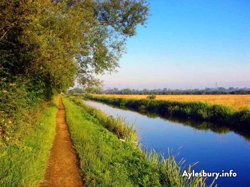
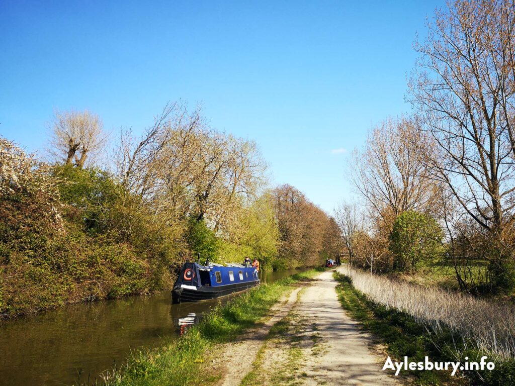
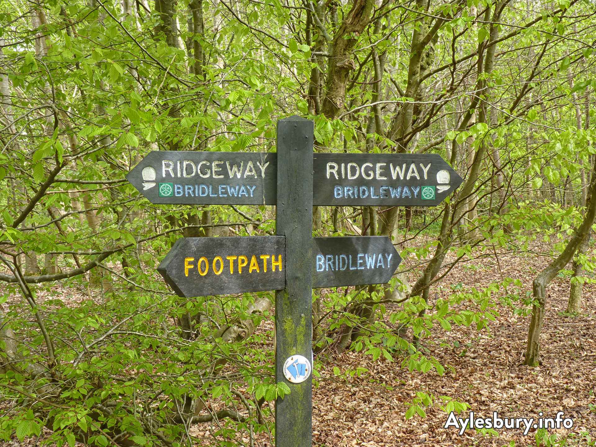
Between Ivinghoe and Wendover, the route passes through a mix of countryside landscapes including beech woodland, farmland, and sections near the Grand Union Canal, with connections to nearby villages and towns. The trail is well waymarked and used for walking, with parts following historic routes that have been in use for thousands of years. Publicly available information indicates that this stretch represents the final section of the Ridgeway, linking rural Buckinghamshire locations with the wider National Trail network.
This overview is written independently and is based solely on publicly available information; it does not represent the company or organisation, nor does it imply endorsement. Owner or marketing? Get in touch to claim this listing and tell us all about your business, charity, community group or organisation, it’s free!
Overview written 29 March 2026.

Map
Contact, Address, and Web Info